By Nic Loyd, WSU meteorologist, and Linda Weiford, WSU News
![]() A long plume of warm, moist airflow from the tropics to the Western United States put record-warm temperatures and intermittent rain on the Thanksgiving Day menu in eastern Washington.
A long plume of warm, moist airflow from the tropics to the Western United States put record-warm temperatures and intermittent rain on the Thanksgiving Day menu in eastern Washington.
What began as a enormous swirling mass of clouds near Hawaii a week earlier evolved into an atmospheric river that swooped in on Washington state on Nov. 22 and lingered throughout much of the next day. Its appearance made Nov. 23 the warmest Thanksgiving since records started being kept in 1881.
As people gathered to enjoy holiday feasts, temperatures ran 15-25 degrees above normal. Spokane and Pullman reached a high of 57 degrees, Moses Lake, 64, and Othello and the Tri-Cities, 65. Just waking up that morning felt disorienting. With the mercury already at 54 degrees in Spokane by 8 a.m., it felt more like early autumn than late November.
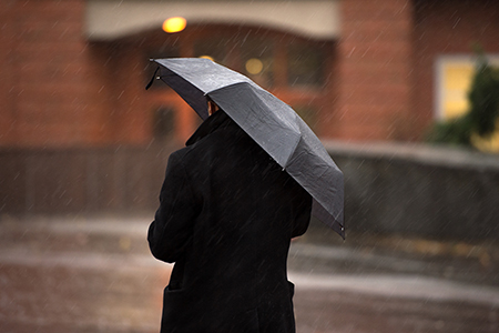
Though the day was remarkably balmy, sporadic blustery and wet conditions kept folks indoors more than out. Not only did the atmospheric river pull warmth from the tropics and deliver it our way, but it also funneled rain and wind. Early afternoon wind gusts of 31 mph jiggled early-hung Christmas decorations and by 2:15 p.m., a warm rain began to fall.
Relatively speaking, the Thanksgiving-era “river in the sky” was moderate and short-lived. A previous atmospheric river dubbed “The Big Dark” by the National Weather Service extended all the way from Asia to Washington state in mid-October. Stalling over land for several days, it fueled storms in the Puget Sound region that caused power outages and unleashed huge amounts of rain and mountain snow.
Now into our first full week of December, a immense ridge of high pressure has replaced the atmospheric river, bringing dry conditions and slightly-above normal daytime temperatures through the weekend.
As we slink toward winter, the dry stretch will be a welcome change. Repeated storms in November brought a hefty 25 days of rain or snow to the Spokane area.

The high-pressure system now parked over the region will bring some low clouds and fog during an otherwise dry week. Also, look for a dip in air quality as a stagnant air mass traps pollutants from sources such as vehicle exhaust and wood smoke.
Once again, the mainland will shiver as Hawaii basks in warmth.
Weathercatch is a bimonthly column that appears in The Spokesman-Review. Nic Loyd is a meteorologist with Washington State University’s AgWeatherNet. Linda Weiford is a WSU news writer and weather geek. Contact: linda.weiford@wsu.edu